


“Smart City” Presents New ‘Electronic Map of Dushanbe’ Project
Read also
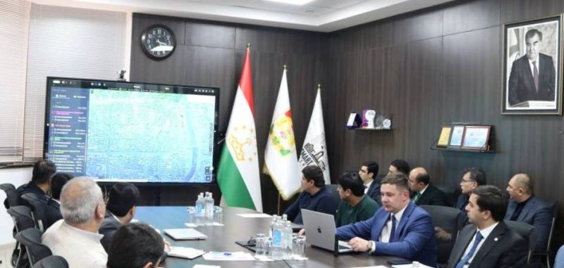
The State Unitary Enterprise “Smart City” has presented a new project titled “Electronic Map of Dushanbe,” featuring analytical and update modules, NIAT “Khovar” reports, citing the State Unitary Enterprise “Smart City.”
During the presentation, participants were introduced to the key features of the project, including examples of geoportals and analytical reports. The stages of implementation and the roles of the institutions involved were also outlined.
The “Electronic Map of Dushanbe” was developed on the instructions of the Chairman of Dushanbe, His Excellency Rustam Emomali, and is being implemented by the State Unitary Enterprise “Smart City” under the Executive Body of State Authority of Dushanbe, in cooperation with LLC “GS Era.” As part of the project, the territory of Dushanbe is being surveyed using unmanned aerial vehicles and converted into digital format.
An electronic map is a cartographic product generated from digital map data and includes information on geodetic points, terrain, hydrography, vegetation, soils, economic and cultural sites, roads, communications, urban infrastructure, administrative boundaries, and other geographic features.
 Meeting of the Government of the Republic of Tajikistan
 Dushanbe to Host International Forum on Sustainable Development, Green and Digital Transformation in April 2026
 Tajik Delegation Competes at International Delphic Games in Kyrgyzstan
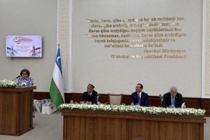 Tajik, Uzbek Writers Celebrate Navruz at “Literary Friendship – Eternal Friendship” Event
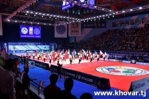 Dushanbe to Host International Judo Grand Slam 2026
 FAO to Hold 35th Regional Conference in Dushanbe on Food Security, Climate Issues
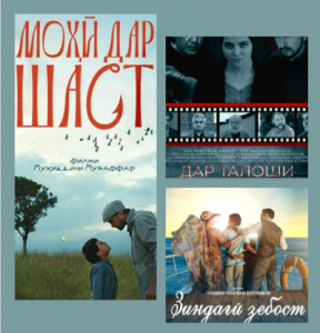 Tajik Cinema Days Open in Uzbekistan, Showcasing National Films
 Youth Navruz Festival Opens in Dushanbe with Global Participants, Cultural and Sports Events
 Emomali Rahmon Urges Pride in National Heritage, Unity in Navruz Message
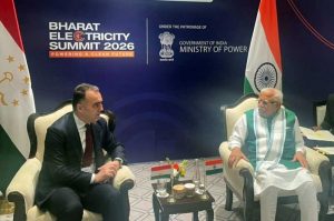 Tajikistan, India Discuss Energy Cooperation at New Delhi Summit
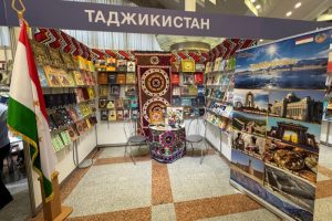 Tajikistan Showcases Culture, Literature at Minsk International Book Fair
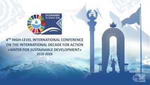 Dushanbe Conference Panels to Assess Decade for Water Action Progress


